Shapes (polygons)
Review polygons
In extract, any shape on a map is represented by a polygon (i.e. ‘Zones’ in TPOs or ‘Areas’ in Article 4 Directions and Conservation areas).
You will see extracted polygons on the map and their associated data will appear within the ‘Areas’ tab (Article 4, Conservation Areas) or ‘Zones’ tab (TPO). Clicking either will highlight its corresponding element.
In some cases, extract may have found a zone or area as part of the overall document but is unable to create the associated polygon on the map. In this case you will see a status label and warning message as follows.
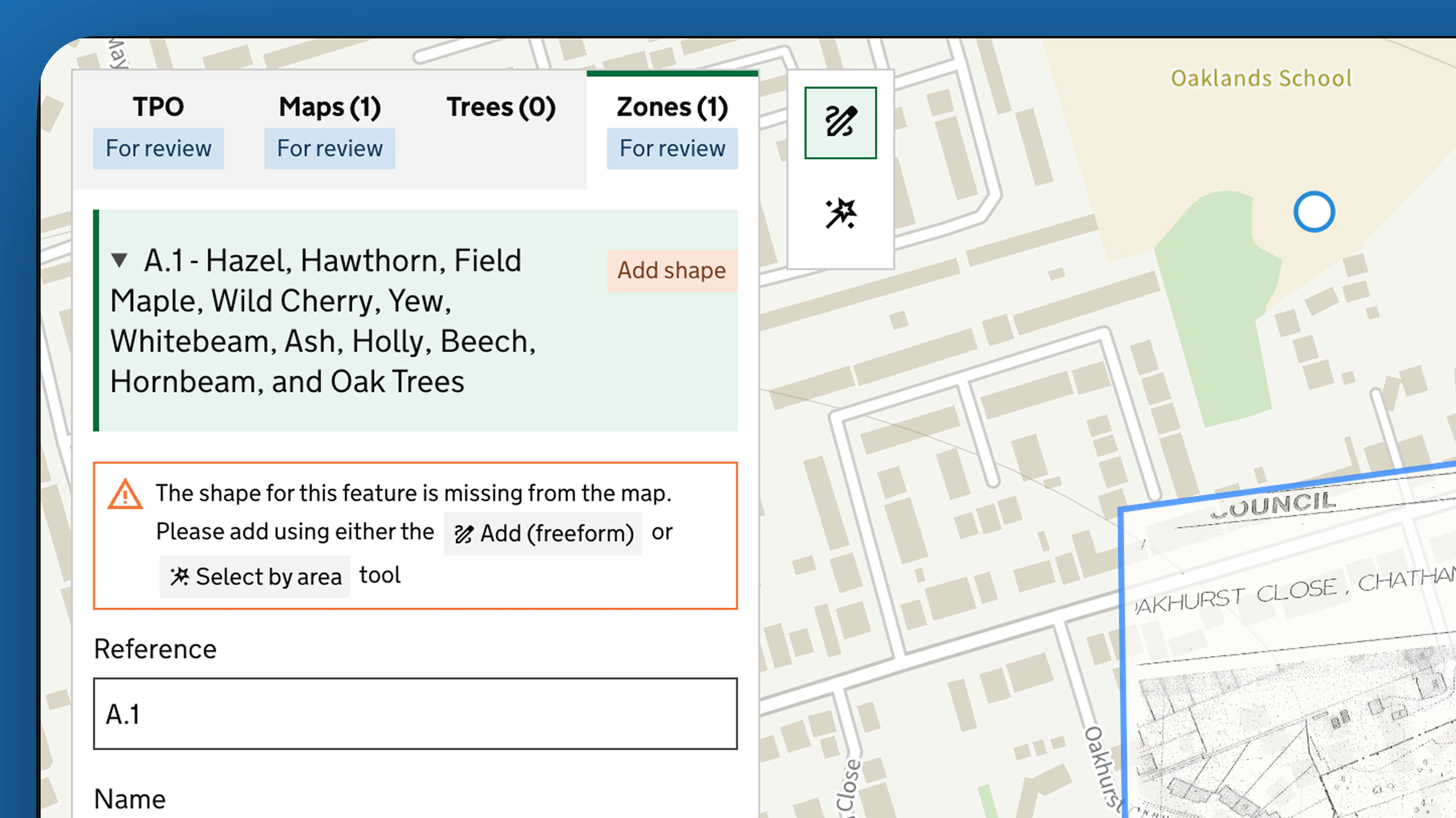
In this scenario you will need to manually add the shape. See Editing polygons (advanced) for instructions on how to do this.
Contact
If you couldn't find an answer to your question here, please contact us at extract@communities.gov.uk or reach out to us on Slack.